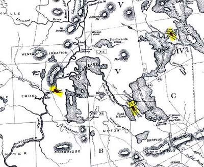
Farrar's 1876 map section
Title
Farrar's 1876 map section
Description
This section from Farrar’s Map of the Rangeley Lakes Region and the Sources of the Magalloway & Androscoggin Rivers (1876) has been highlighted to show several of the large dams constructed after 1853 to control the flow of water into the Androscoggin. For many decades afterward, the Union Water Power Company and the Androscoggin Reservoir Company were in charge of maintaining these dams.
Date
1876
Identifier
rivers-journey-31

